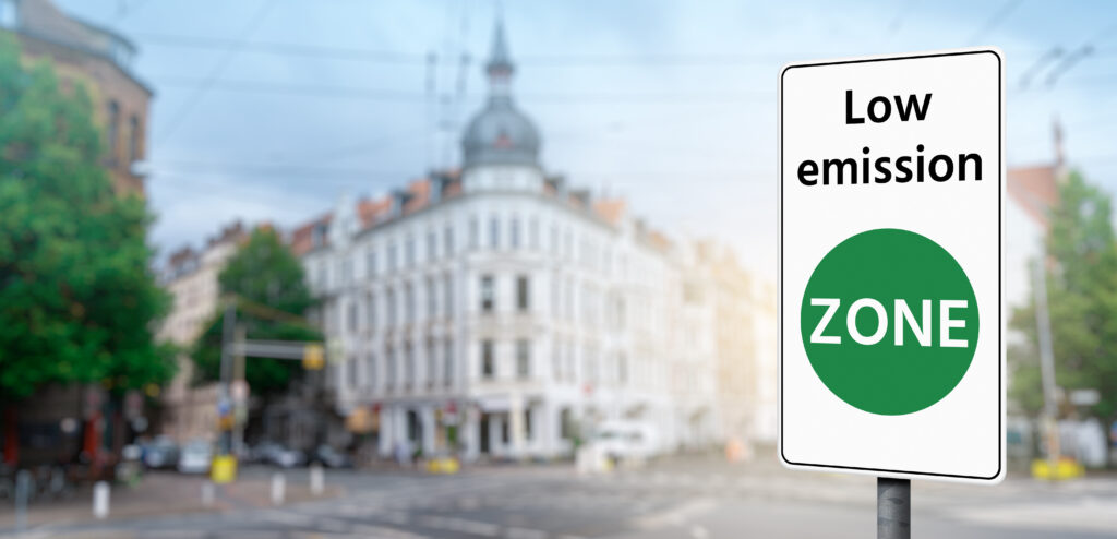
Low emission zones, residential zones, speed limit zones. A sustainable city designates special areas for its residents – to protect them and improve their quality of life and safety. Today, vehicles can detect these zones using GPS technology and automatically switch to the appropriate driving mode – zero-emission or adapted to the required speed. Geofencing is all about zone detection and response by a bus or other vehicle.
In today’s high-tech, smart world, we are surrounded by a cloud of data used by various devices and technologies. Geofencing is one such feature. It involves GPS technology mapping virtual zones in a city and programming the vehicle’s response within that area. The virtual zone mapped in the software corresponds to the boundaries of the actual zone.
Geofencing makes it possible not only to track a vehicle and register it when it crosses the boundaries of a zone but also to modify its onboard parameters and control its performance within the zone.
There are many possible zones: Low Emission Zones, Residential Zones, Speed Limit Zones, and Parking Zones. The driving modes that vehicles enter can also vary.
What does this mean in real life? Imagine that a city has a low emission zone in a predefined area. No vehicles with internal combustion engines or insufficient emission standards can enter such an area. The vehicle’s software shows the boundaries of such a zone on its map. The bus automatically switches to another mode when the zone boundary is crossed. A hybrid bus, for example, switches off the combustion engine and runs only on electricity. Other possibilities include turning off the vehicle’s combustion heater, automatically reducing speed in a residential area, or even sending a text message with specific information.
A vehicle using geofencing can detect the entire zone but can also respond only to selected points – bus stops or specific road sections. For example, cars and buses can be programmed to slow down significantly near schools or playgrounds. The possibilities are endless. Any number of zones can be defined, and a range of features can be set for each zone.
In addition, the software can set a course, for example, from east to west, so the vehicle passes through a particular zone to switch to a different driving mode. This option is useful, for example, when two bus stops on opposite lines are located on the same street.
Although the solution seems simple, it requires complex programming of vehicle management software and the entire bus fleet. It also requires precise communication between the software and the vehicle and modifications to the vehicle’s electronics.
We can experience geofencing almost daily when we receive various smartphone notifications and alerts based on our location. This technology can be efficient and helpful in reducing emissions or improving safety in the transport sector.


